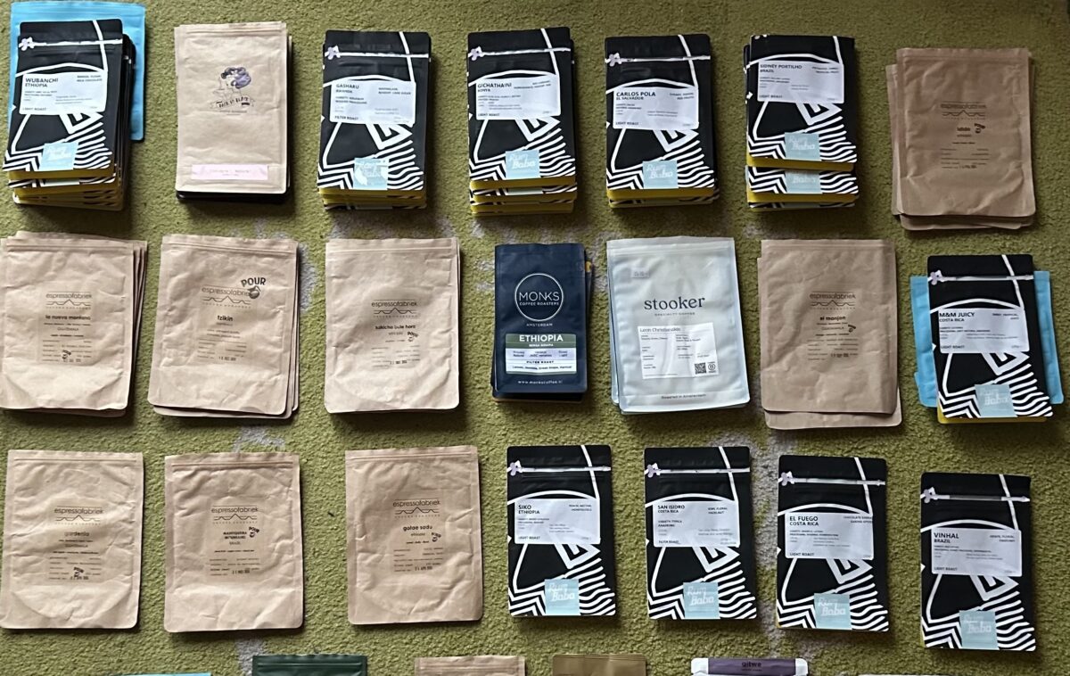
Since 2019, I have tracked all the coffee beans I use each year. Last year, I first used Google NotebookLM to analyse the data. This resulted in an interesting podcast in which two people discussed all the data I collected.
So, after collecting all the data in my Google Sheet, I decided to see if NotebookLM has improved on the same set of data as last year (with the newly added data, of course).
Last year, I had to convert my Google Sheet to a long document (Google Docs or PDF) because you couldn’t add Google Sheets, but this year, you can.
And indeed, NotebookLM has improved a lot. You have more options, and the quality has improved a lot!
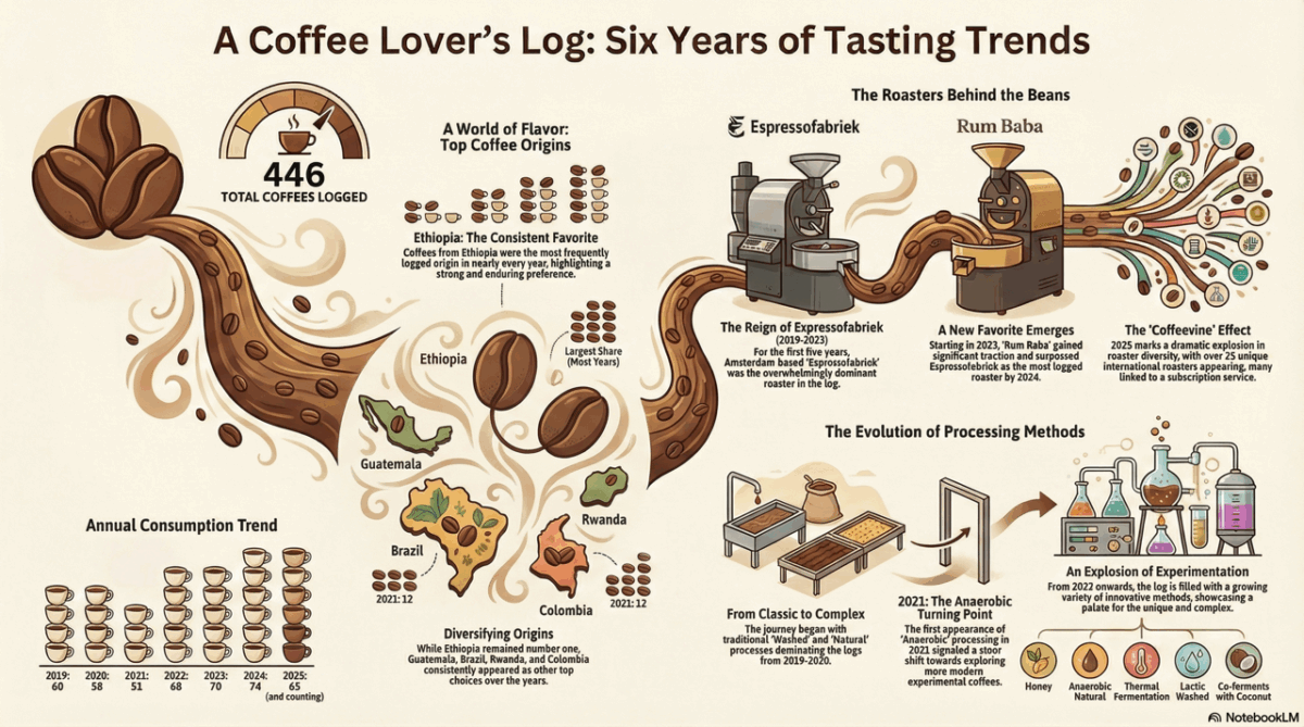
One of the most interesting options is the infographic shown in this post. I really love it! And it even mentions the ‘The Coffeevine effect’. In 2025, I started a Coffeevine subscription, which sends me three different bags of coffee beans every month from European roasters. So I have a lot more unique roasters in my list this year.
The quality of the podcast has increased a lot; it’s an interesting conversation about all the data in the Google Sheet. They even talked about different processing techniques and agreed that the most interesting one this year was the Colombia Monteblanco Coconut Lemonade!
This year, NotebookLM can also generate a video overview:
I still have mixed feelings about using AI, but it sure opens up a lot of new ways to view data like this. Maybe I have to start using it more in 2026 and build a coffee app with Claude Code? Although we now have Siip. It’s like Untappd or Vivino for coffee beans. It doesn’t generate a yearly overview, but it’s an app with a lot of potential and is highly recommended if you also want to keep track of your beans.
If you want to learn more about what you can do with AI, I highly recommend following Erwin Blom’s FMT Handpicked – AI in de praktijk or his Vibe Coding United.
See you next year, and enjoy your coffee!